The existence of multiple barriers to mobility deprive a lot of wheelchair users of following a certain path on the street. Currently, wheelchair users need to carefully plan the path they need to take ahead of time.
However, information about accessibility of public spaces is not easily accessible nor updated, making wheelchair users take risky decisions such as shifting to the road to surpass a certain obstacle.
The Solution
SafeJourney uses satellite, street and geographical data to calculate an accessibility index for users of electrical and mechanical wheelchairs, by calculating:
- If the sidewalk is irregular or not
- If the crosswalk has sufficient width
- If the crosswalk has a ramp
- The slope of the region
- … among other indicators
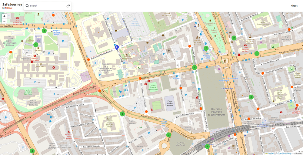
This accessibility index is going to be calculated for thousands of points in the city of Lisbon, providing information about what regions are friendlier for users in wheelchairs. On the long term, this solution can be used not only by wheelchair users directly, but by service providers (e.g. restaurants/real estate) to give more detailed information about the region to these users.
In the meantime, you can check our demo.
Disclaimer
This project, developed in 2023, is released under (CC BY-ND 4.0) and is a part of Open Call Vox Pop Lisboa, which is co-funded by Câmara Municipal de Lisboa and Fundo Europeu de Desenvolvimento Regional, through the initiative “Ações Urbanas Inovadoras (UIA)”.
Project co-financed by the Municipality of Lisbon and the European Regional Development Fund through the Urban Innovative Actions (UIA) .
 |
|---|